Oldest Maps of Ens (Schockland Island)

The oldest maps featuring Schockland, Netherlands (Ens Island) and a timeline of cartographic renderings of the Island which may be the source of the Enns and Ensign family names.

Albeit the oldest surviving map in the world is considered to be the Turin Papyrus Map, mapmaking as we know it really only took off in the early 16th century and the Dutch arguably had the worlds best cartographers, known for mapping the entire globe and giving rise to the Golden Age of Dutch and Flemish Cartography.

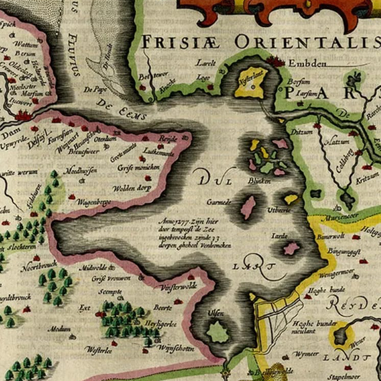
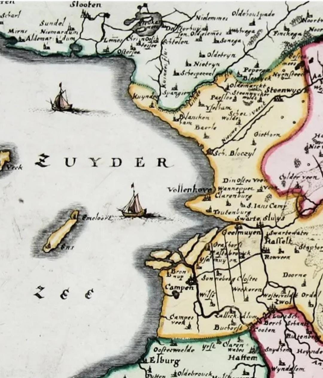
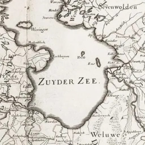
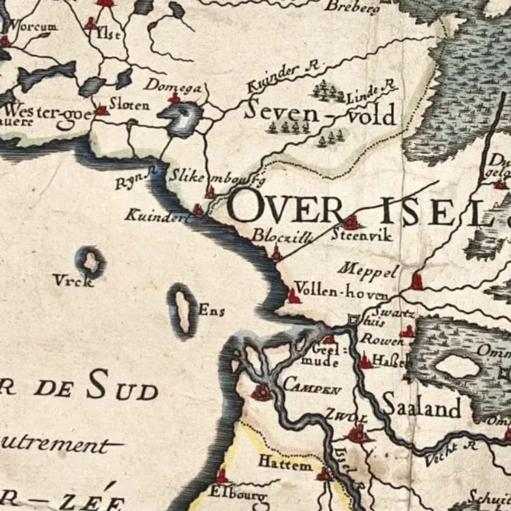
Here are the oldest maps I have been able to find that show or mention the Island of Ens and Emmerlord. The name Schockland only appears in the 1700s. If you know of any older or relevant maps, please send me a message!
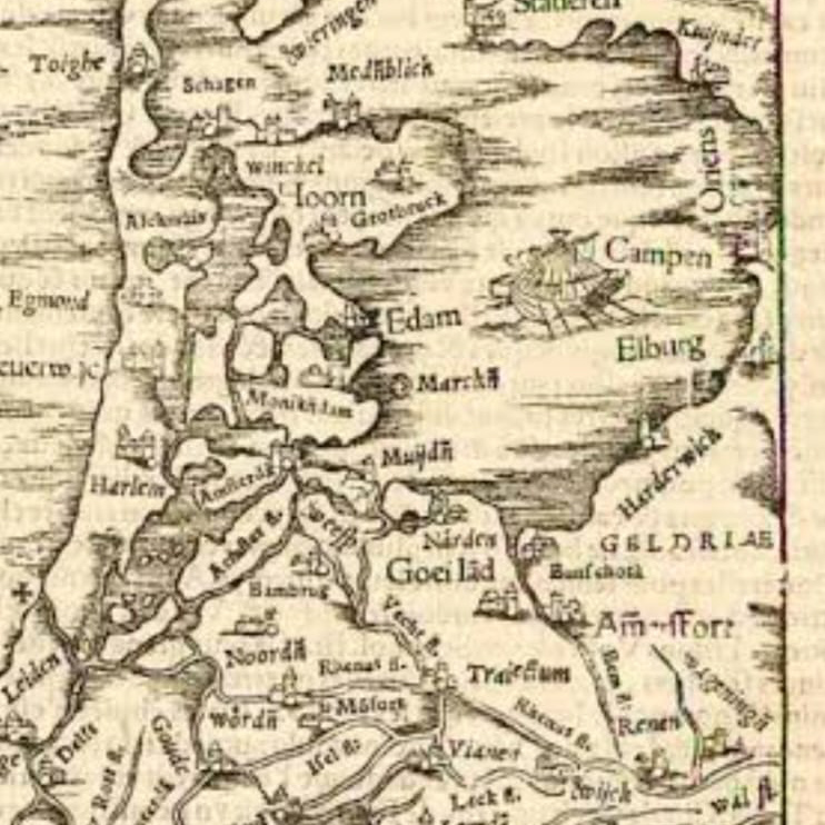
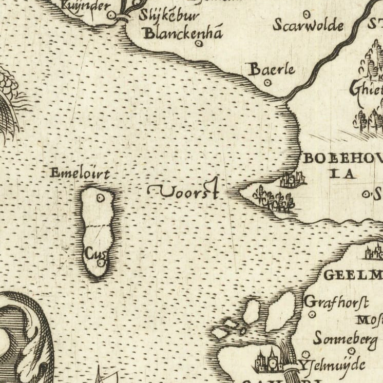
1552 – Sebastian Munster – Oriens – This map from 1552 seems to label the island “Oriens”
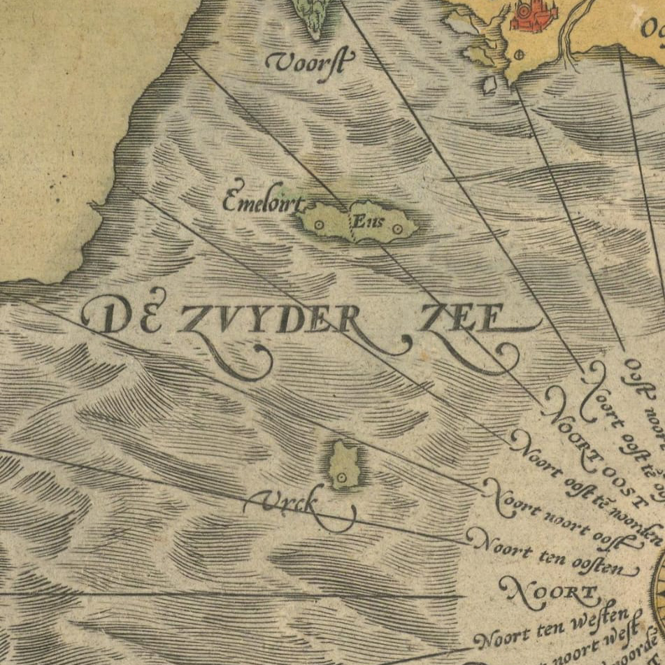
1566 – Frisiae Antiovissimae Trans Rhenum Provinc et Adiacentium Regionu Nova et Exacta Descriptio – Emeloirt & Ens Island – This is the oldest map I could find that has the Island labeled with Ens.
1572 – Hollandiae Antiquorum Catthorum Sedis Nova Description – Emeloirt & Ens Island
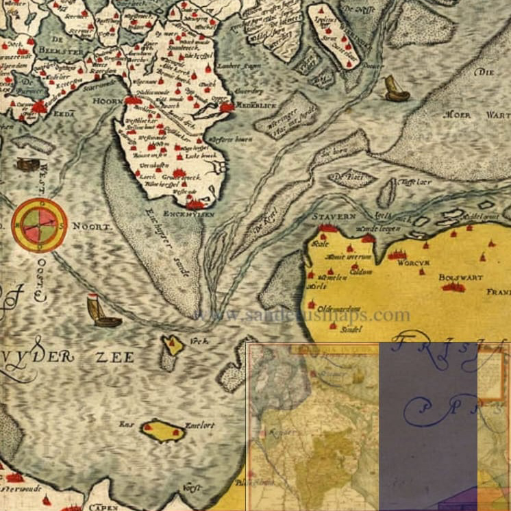
1573 – Gerard de Jode – Ens & Emelort Island (from sanderusmaps.com)
1588 – Ortelius Map of Ens/Schockland
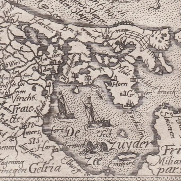
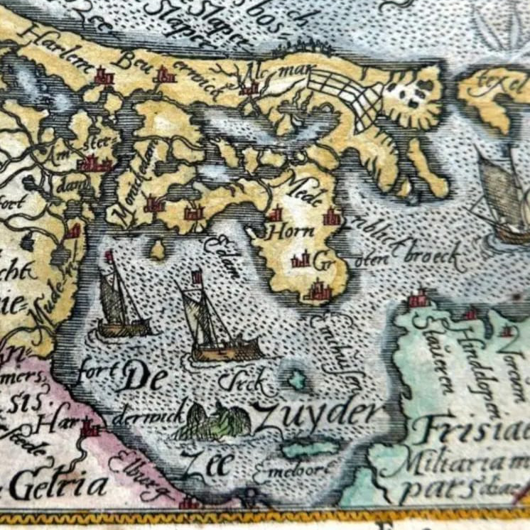
1590 BY ABRAHAM ORTELIUS (Island only labeled Emelord)
1617 – GRONINGA DOMINIUM-NETHERLANDS Kaerius Keere (Island Labeled Iarde)
1659 – Topographia Germaniae Merian
1672 – Sanson
1679 – Pierre Du Val

Leave a Reply

Your email address will not be published. Required fields are marked *